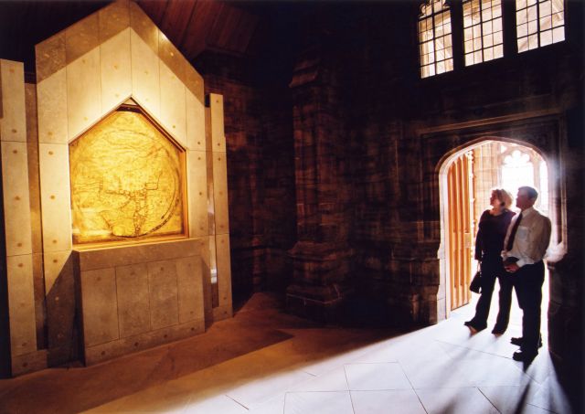
After seeing Kilpeck church, we decided to make one more visit before heading back north. We drove into Hereford to see the Hereford Mappa Mundi at Hereford Cathedral. It is exhibited very effectively: before you enter the room with the map, there are a series of panels that prepare you for what might otherwise be an unenlightening encounter, given the map’s strange appearance to the modern eye.

In fact, I found the map made a lot of sense (though you wouldn’t be advised to use it to navigate anywhere). Once you adjusted to the known world mapped as a circle, with East at the top and Jerusalem in the centre, the various places depicted were, very roughly, in the right place, even if the outlines of coasts and the shapes of landmasses was rather odd. The other salient factor is that this is not only a map of the world in the geographical sense, but also of the medieval mind. It reflects how thirteenth-century scholars interpreted the world in spiritual terms with Jerusalem at the centre of the world and the Garden of Eden in a circle at the edge of the world, and how they imagined distant lands to be populated with strange creatures.

Great Britain is drawn at the northwestern border (bottom left). Strangely, the labels for Africa and Europe are reversed, with Europe inscribed in red and gold as ‘Africa’, and vice-versa. Superimposed are drawings of significant places or events in history and marvels of the natural world: cities and towns, Biblical events, plants, animals, birds and strange creatures, and images from classical mythology.

The map is illustrated with images of mythological creatures, including the Sciapod (above, left), who sheltered himself from the heat of the sun with his single enormous foot, and dog-heads (above, right). The lack of knowledge about what actually lay in the interior of distant lands was to be satirised by Jonathan Swift in 1733:
So geographers, in Afric maps
With savage pictures fill their gaps
And o’er uninhabitable downs
Place elephants for want of towns
At the top of the map Christ is depicted sitting at the Day of Judgement. To His Right and Left angels summon the blessed and turn away the unrepentant. Among the chosen is a king wearing a crown and a bishop with his mitre.
The map was probably made at the end of the 13th century. It bears the name of its author, Richard of Haldingham or Lafford (the old names of the parishes of Holdingham in Lincolnshire). Richard made a point of featuring Lincoln, his home ground, very prominently. He was probably the designer and director of the Map, rather than a scribe, a man educated in the use of Norman French. There is no record of it at Hereford until 1682, when a researcher came across it in the Cathedral Library (entry to the Mappa Mundi exhibition also allows the visitor to view the world’s largest surviving Chained Library, containing over 1,500 rare books dating from the 8th to the 19th centuries).

Christopher de Hamel, a leading authority on medieval manuscripts, has said of the Mappa Mundi:
It is without parallel the most important and most celebrated medieval map in any form, the most remarkable illustrated English manuscript of any kind, and certainly the greatest extant thirteenth-century pictorial manuscript.
Maps like the Mappa Mundi were produced in great numbers throughout the medieval period in workshops dedicated to that purpose. A number of monks would have worked under a master such as Richard of Haldingham, making numerous copies of this and other manuscripts used by the Church for tuition.
